General report of the AUS field trip/国際研修Iレポート Day 1 (27 Feb. 2019)
Lake George
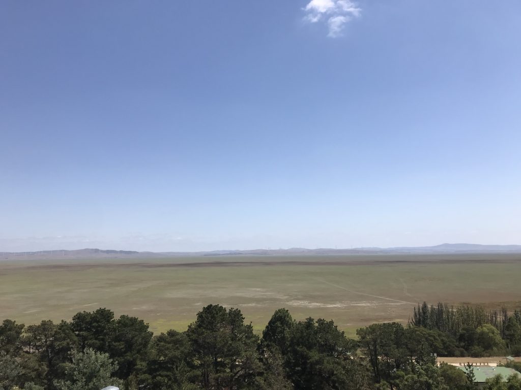
The water level of Lake George depends on the balance between precipitation and evaporation. Lake George had a record of flood till the 1980s, but now it has dried up. In past studies, water flowed from the surrounding river, but now the uplift had occurred, and river water hasn’t come into the lake.
A lake was formed with elevation change due to a normal fault.
Lake Biwa is still active as it is still deeper, but Lake George is not active, so it is shallow due to sedimentation. The amount of sediment is about 300 m.
When dating with paleomagnetic, it can go back to about 5 million years ago.
In the last glacial period (20 ka), it is generally known that the sea level was as low as 150 m, but Lake George was wet. The bedrock was formed 450 million years ago, and the formation of 350 million years ago is visible.
Mt. Ainslie
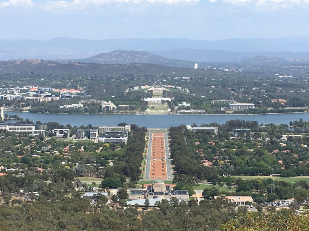
Canberra was designed by Burley Griffin at the international competition. There are three mountains around Canberra, Red Hill to the south, Black Mountain to the west, Mt. Ainslie to the north. All three were formed by the volcanic activity of the early Silurian. Black Mountain is the oldest, Red Hill is the youngest of the three mountains. Canberra is made in lowlands surrounded by these mountains, and Lake Burley Griffin is located in the center. Lake Burley Griffin is made by damming. There are old parliament building and new parliament building, a new parliament building was made by cutting out hill. The Roads in Canberra extend radially around the new parliament building. We observed the outcrop of dacite. The crack direction is west, the portion that is 420 million years ago corresponds to the subduction zone of the end of the Gondwana continent. Trace of welding was seen in dacite, and it is thought that it remained as a mountain because it is harder than the surroundings.
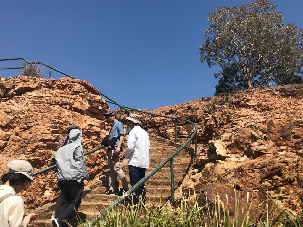
State Circle Unconformity
Here are sediments of 425 million years ago. We observed the inconsistency between shale and sandstone. Lower shale has many folds, slump, and pseudo-tachylyte. There was a part where the boundary between the shale and the sandstone was clear or not. The clear boundary was at a higher position then, and the sediments which were scraped did not remain on the spot. It is thought that the part which is not clear was the place where the sediments were settled down. In the upper sandstone layers, there are gravels with large particle size. It may indicate the sea level lowered or uplifted. Compared to the lower shale, the fold is weak, and the deformation received is weaker than the lower layer. We interested in the formation mechanism, because both normal fault and reverse fault were observed. Pseudo-tachylyte: Part of the rock melted due to the frictional heat generated by the fault and reconsolidated as a glass dike.
